Toulinguet St • Rink Rd
A decision point: harbour route, town core, and the rhythm of traffic and walking. Use this page to orient and choose the next move.
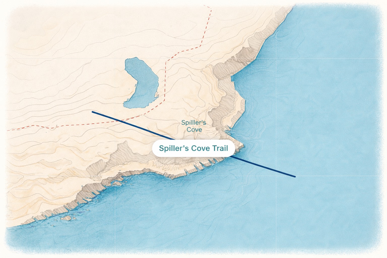
Why this intersection matters
Treat intersections as “narrative hinges”: they’re where the island asks you to choose. Add one or two practical cues (parking, sightlines, wind exposure, safe crossing) and one sensory cue (sound, smell, light).
Quick facts
Road Node module
This is your shortcode output area. Replace the ID.
Toulinguet St | Main St South
Intersection / Node Story
Paste the narrative here (local instructions, lore, “what to notice”, micro-timing cues).
Example: “This is where the harbour shoreline begins. If the wind is west, the sound off the water is stronger here—pause for 10 seconds before you pick your direction.”
Navigate from here
Use this panel for practical movement: parking, safe crossing, and a simple “if/then” based on time-of-day or wind.
Practical cues
WayTiming prompts
Connected nodes
Link out to the next intersections, hotspots, or narrative markers. (Can be manual links, or replaced with your adjacency renderer later.)