Twillingate Harbour
Harbour basin hub for commerce, recreation, infrastructure — mapped as a vertical perimeter system with hotspot nodes.
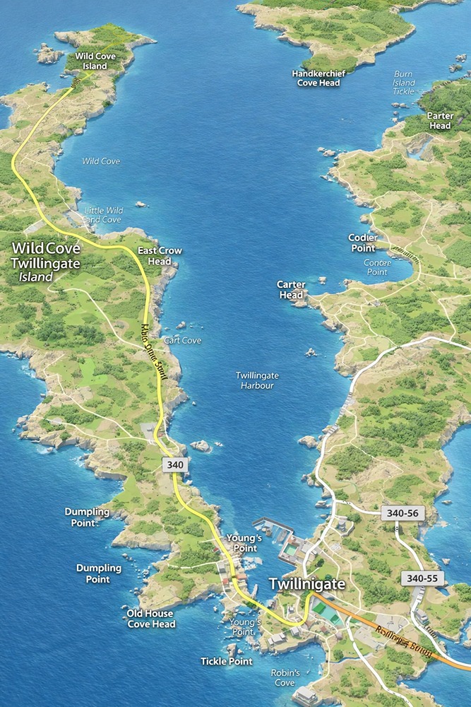
Harbour Map
Business
Infrastructure
Recreation
Spine
Map is static for speed. Hotspots are absolute-positioned for quick iteration and later CPT-driven injection.
Weather
Now
Loading…
Wind
Loading…
Conditions
Loading…
Updated
—
This uses browser geolocation by default (if allowed). If you want it locked to Twillingate Harbour coords,
set WT_FIXED_LAT and WT_FIXED_LON in the JS section.
Main Street North
Primary commerce frontage. Ideal anchor for business nodes and harbour-access points.
Business Nodes (future)
Harbour Access / Parking (future)
Services / Food (future)
Tickle Bridge (Future Node)
Structural connector basin-wide. Suitable for interpretive signage, “arrival” logic, and navigation convergence.
Main Street South
Wharf infrastructure + mixed frontage. Attach wharf nodes, marine services, access points.
Wharf / Infra Nodes (future)
Accommodation Nodes (future)
Perimeter Walks (future)
Hotspots
This list is the human-readable index; the map hotspots can link here or to specific sections.
Business
Perimeter Business Node
Infrastructure
Wharf / Utility Node
Recreation
Walk / View / Photo Node